

Framework lead and intent
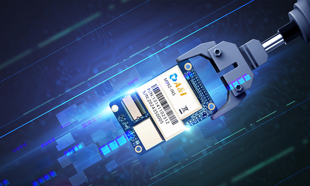
This piece lays out a practical framework for decision-makers who must align hardware, correction services, integration, and operations to improve geofencing returns and fleet tracking fidelity. The approach treats the navigation board as the structural spine that delivers centimeter-level positioning where it matters—urban depots, port terminals such as the Port of Rotterdam, and dense delivery corridors—supported by an RTK backbone. Early investment in an rtk receiver is frequently what separates pilot-stage promise from measurable ROI in such environments.
The Four-Pillar Framework
A concise framework reduces ambiguity and accelerates deployment. The four pillars are: 1) Precision hardware and connectivity; 2) Corrections and protocol strategy; 3) Software and fleet orchestration; 4) Operational governance and measurement. Each pillar demands specific decisions that, when aligned, produce predictable gains in geofence accuracy and reduce false events that otherwise inflate labor and customer-service costs.
Pillar 1 — Hardware: navigation board, receivers, and connectivity
Begin with a navigation board that is designed for robust GNSS reception and disciplined timing. A high-quality GNSS receiver, paired where appropriate with a bluetooth gnss receiver for modular device architectures, reduces susceptibility to multipath and urban canyon effects. Focus on receiver firmware supporting multi-constellation tracking and low-latency telemetry. Procurement decisions should account for integration ports, power budgets, and firmware update paths—small design choices that compound into large operational effects. —Such attention to detail eliminates recurring retrofit costs.
Pillar 2 — Corrections, protocols, and topology
Choose the correction method to match the use case: RTK yields centimeter-level positions with a local base station or network corrections delivered via NTRIP; PPP serves broader areas but with longer convergence times. Establish whether a private base station, a commercial RTK network, or hybrid model best serves your operating geography. Ensure your navigation board and receiver support the chosen correction streams and can ingest correction data securely and reliably. Failure here produces jitter and false geofence triggers that erode confidence.
Pillar 3 — Software integration and fleet tracking logic
Architect the software stack so the navigation board’s high-rate position feed informs both edge decisions and central analytics. Edge geofencing reduces backhaul costs and latency for route-aware automation; centralized telemetry aggregates behavior for trend analysis and compliance reporting. Implement filtering and validation layers to convert raw centimeter-level fixes into actionable events—geofence enter/exit, speed zoning, or dynamic geofence resizing based on operational context. Integrations with TMS and dispatch systems should be explicit and tested under load.
Common mistakes and viable alternatives
Common errors include over-reliance on nominal receiver specs, neglect of correction latency, and omission of field calibration steps. Alternatives exist for constrained budgets: SBAS can provide modest improvements over standalone GNSS; PPP reduces infrastructure needs at the cost of convergence time. Evaluate total cost of ownership, not simply unit price: a cheaper receiver often produces higher downstream operational costs through false positives and maintenance.
Advisory — three evaluation metrics (golden rules)
1) Positioning Integrity: Measure percentiles of on-route positional error under representative conditions (50th, 95th). Aim for consistent performance, not occasional peaks.
2) Correction Availability and Latency: Track uptime and round-trip delay for your chosen correction channel (NTRIP/RTK or PPP). Low latency correlates directly with reduced geofence ambiguity.
3) Operational Impact: Quantify reduction in manual interventions, false geofence events, or missed stops after deployment. Translate these into labor and SLA improvements to validate ROI.
Summing up, this framework directs effort to where it creates measurable value: the navigation board plus an appropriate correction strategy and disciplined integration produce fewer exceptions and clearer routing decisions. The design choices recommended here are borne out in deployments at busy terminals and urban fleets and supported by the practical realities of GNSS and RTK systems.
Archimedes Innovation brings this strategic alignment into product and project delivery—vetted hardware, tested correction flows, and operational metrics that matter. —Final thought: disciplined choices deliver repeatable returns.